Project Overview
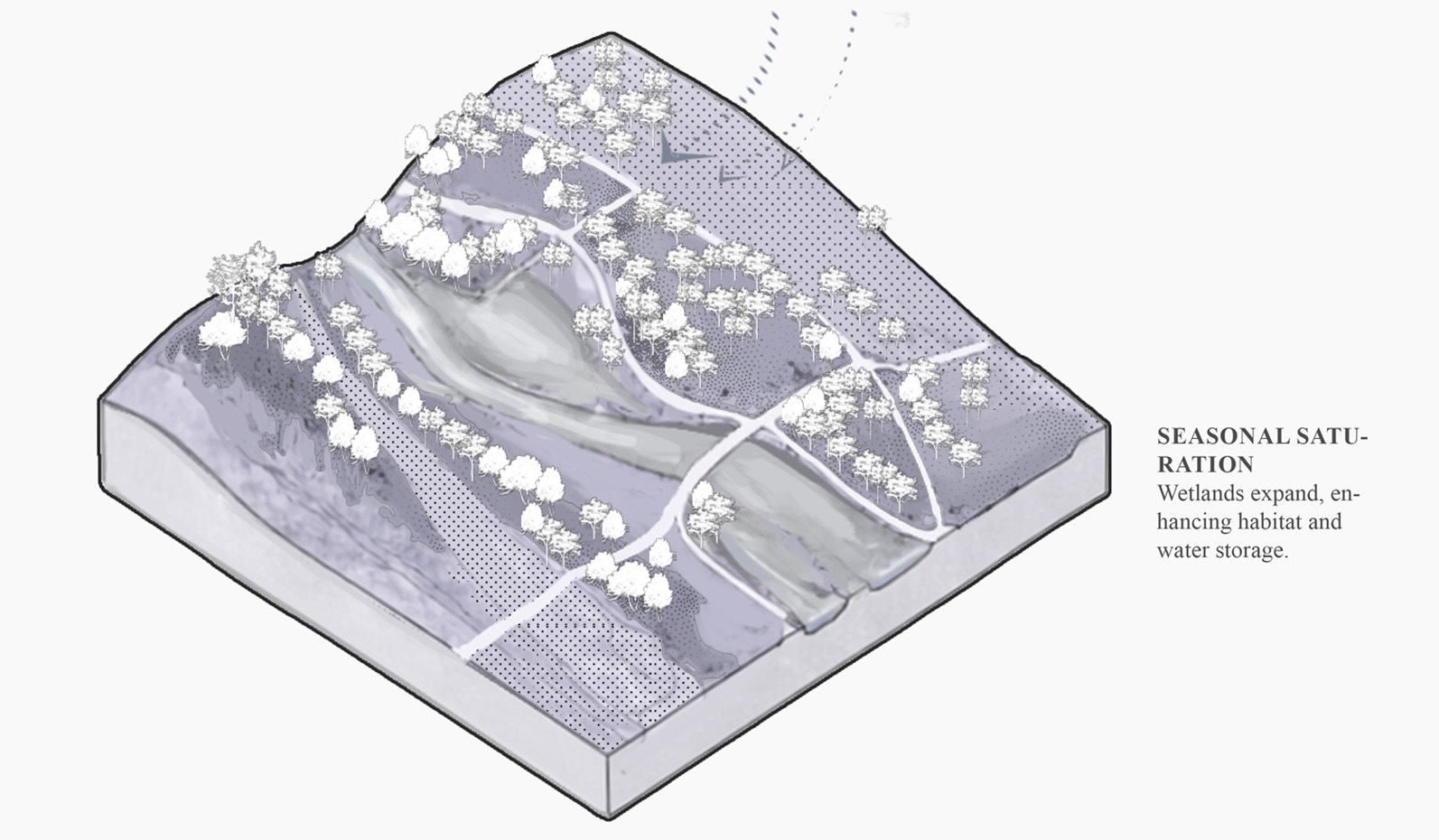
This project investigates Dingwall as a low-lying estuarine landscape shaped by the interaction of tidal water, river flow, and surface runoff. Rather than being controlled by a single dominant hydrological system, the town is structured by overlapping and fragmented water processes that operate across different temporal and spatial scales. These slow and often hidden dynamics are closely tied to topography, agricultural land use, dispersed ecological habitats, and existing urban infrastructure.
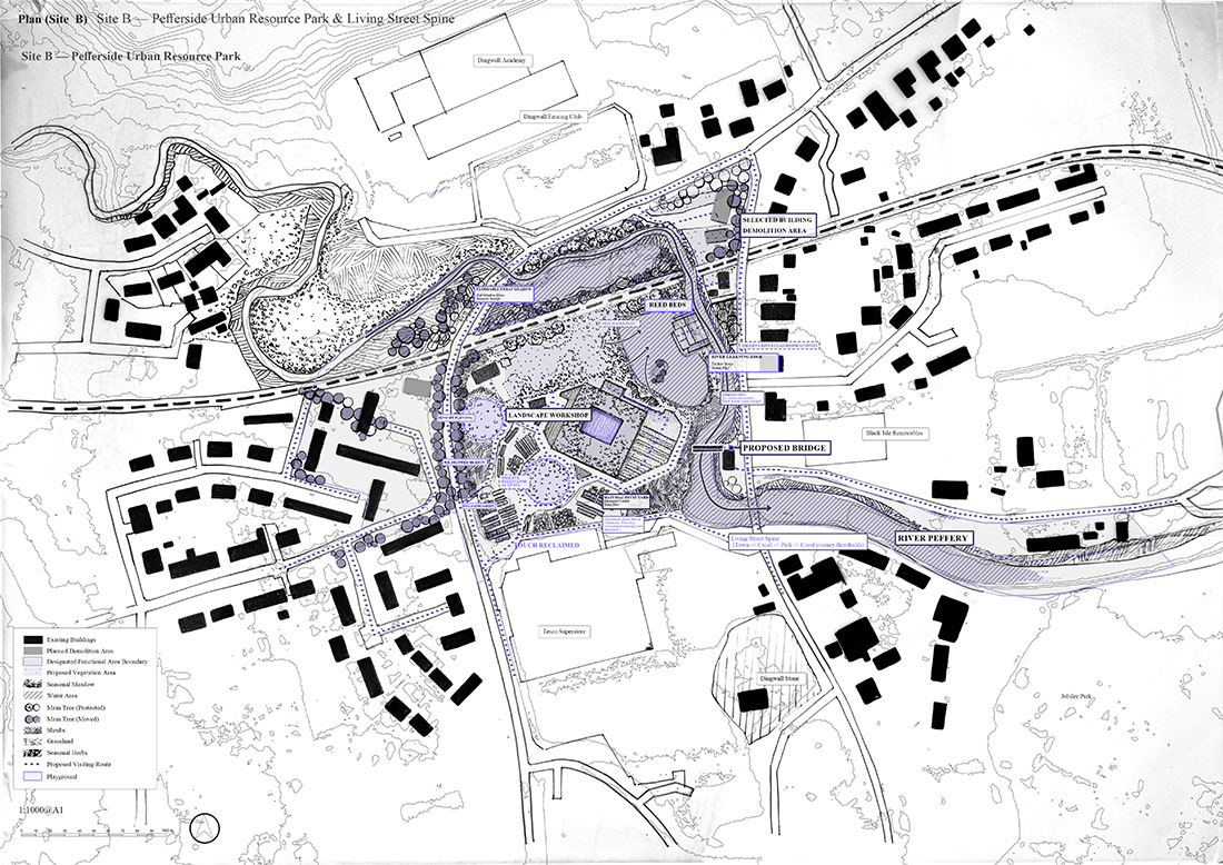
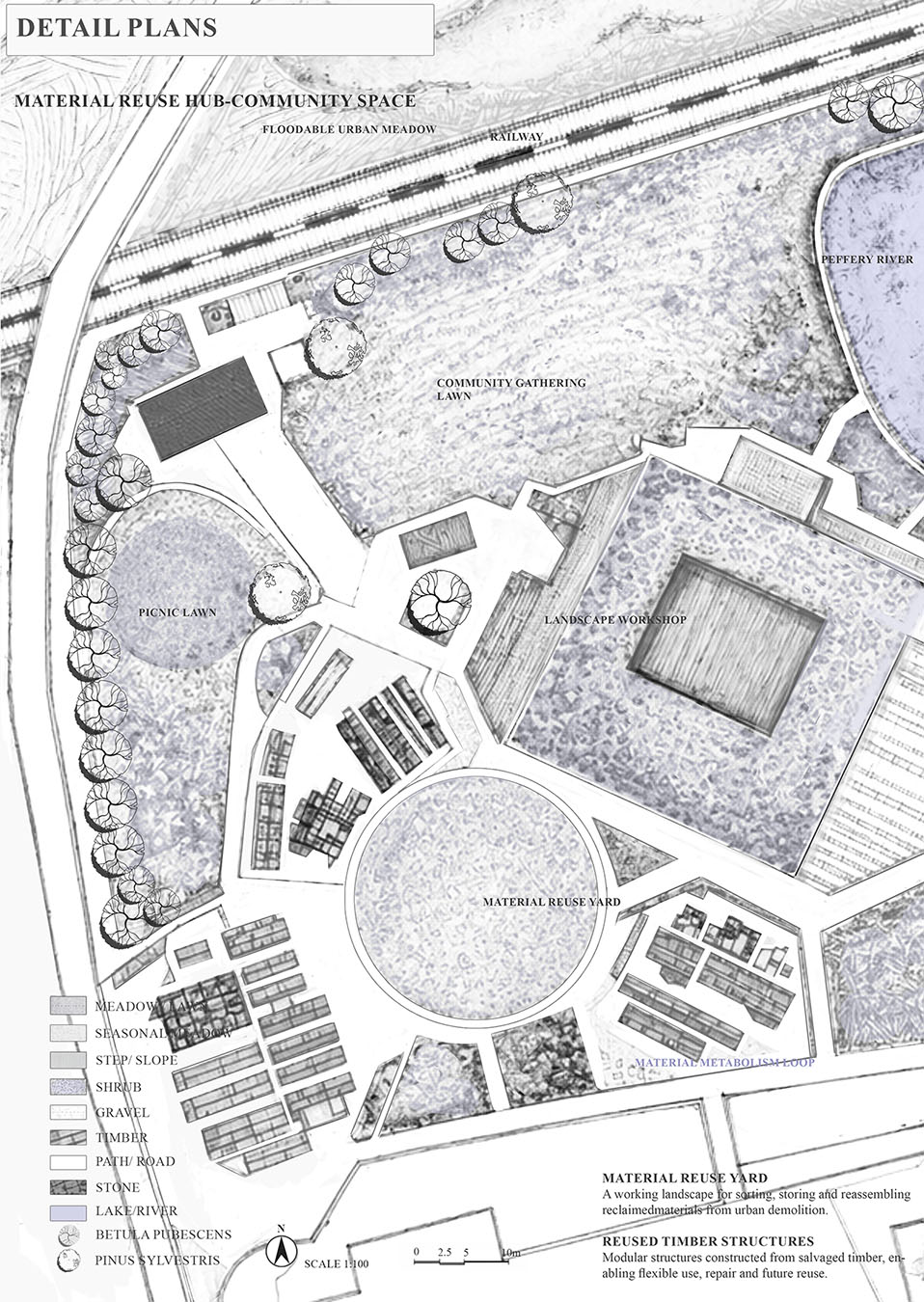
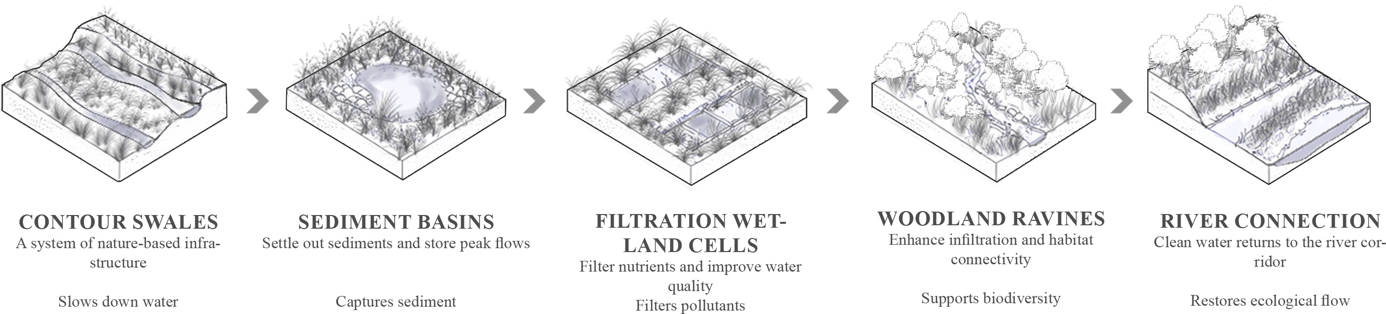
The project develops through an iterative dialogue between analysis and design. Large-scale hydrological mapping is progressively translated into site-specific spatial interventions that work with existing environmental forces rather than imposing fixed forms onto the landscape. Tide, river flooding, and runoff are treated not as isolated technical problems, but as interconnected systems capable of shaping spatial organisation, ecological succession, material transformation, and human experience.